- Google Maps
- add gas station gmaps
- change route on gmaps
- uninstall google maps
- download a google map
- change voice in gmaps
- change language google maps
- logout of google maps
- change home address gmaps
- avoid highways on gmaps
- delete recent searches gmaps iphone
- change work location gmaps
- add stop in gmaps
- add departure time gmaps
- street view on gmaps
- change business hours gmaps
- clear google maps cache
- change car icon gmaps
- find restaurants along routes gmaps
- connect gmaps to car bluetooth
- change google maps view
- search along route in gmaps
- remove labels on gmaps
- see speed limit on gmaps
- turn off gmaps voice
- update google maps
- put business on gmaps
- adjust volume on gmaps
- change km to miles in gmaps
- turn off driving mode gmaps
- use scale on gmaps
- save route on gmaps
- change walking to driving in gmaps
- make google maps default iphone
- download google maps
- find latitude and longitude
- live location gmaps
- save route gm
- avoid tolls gm
- delete map history
- latitude longitude gm
- use google maps
- google maps offline
- measure distance gm
- find coordinate gm
- drop pin gm
How to use Google Maps Offline
Google Maps are very useful when your internet is working fine and it is telling you the right route. But what if your internet gets slow in the middle of your journey? Google Maps got you covered in that too. The only thing you need to do is. Save a route on Google Maps before starting your journey. Follow this guide to know how to use Google Maps Offline.
Use Google Maps Offline in 6 Easy Steps
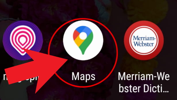
Step-1 Open Google Maps: Open the Google Maps app on your mobile phone in the apps section. The icon of Google Maps has a multi-color pin that donates location. Refer to the below image and open the app on your mobile phone.
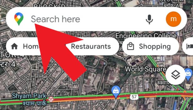
Step-2 Tap the "Search Here" Bar: Tap on the "search here" bar on the top of the screen once you open the Google Maps.
- Type the destination where you want to go or save offline for future use.
- You can also use the microphone button and speak your destination's name.
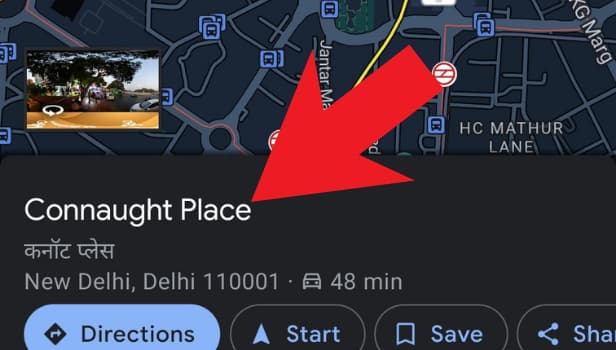
Step-3 Tap on The Name of The Location: When you enter the location's name in the search bar, its name will appear at the bottom. Tap on the name of the destination as shown below.
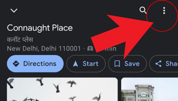
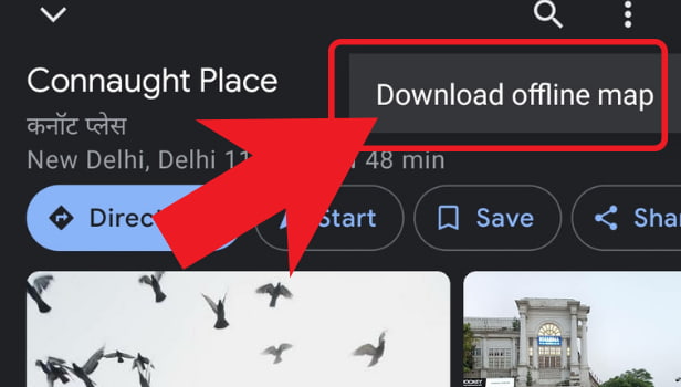
Step-4 Click On The Three Dots: Now click on the three dots present in the top right corner. You can refer to the image if you have any confusion related to the three dots.
Step-5 Click on Download Offline Maps: You will now see an option that says "Download Offline Map". Click on that option to download your destination's route.
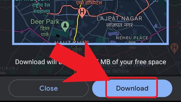
Step-6 Click on "Download" Again: You will again see two options for confirmation that whether you want to download the map or not. Click on the Download option again and your map will be downloaded and you can use it offline whenever you want.
Where Can I See Latitudes And Longitudes On Google Maps?
On your desktop or laptop, open Google Maps. Right-click on any space or area of the map. Choose the area in which you want to see the longitudes and latitudes. Now, when you right-click, you will see a pop-up window on the screen. On this pop-up window, you can see the longitudes and latitudes.
Can I share my Live Location Using Google Maps?
Yes, you can easily share your live location or real-time location using Google Maps. On Google Maps, add the destination and navigate to the transit tab. Turn on the navigation for using the best possible route. On the bottom-right corner, you will see a share route option. Click on that option and share it with your contacts or through any third-party app.
Can I See Where the Tolls Are In a Route So That I Can Avoid Them?
You can simply use the "avoid tolls" option on Google Maps. If you choose the "avoid tolls" option, Google Maps automatically updates your route so that you do not have to face any tolls during your journey. So, use the avoid tolls on Google Maps rather than seeing them and avoiding them on your own.
Related Article
- How to Avoid Highways on Google Maps iPhone
- How to Add Photos to Google Maps From iPhone
- How to 3D Google Maps iPhone
- How to Reinstall Google Maps on iPhone
- How to Tilt Google Maps iPhone
- How to Zoom in on Google Maps on iPhone
- How to Start Google Maps on iPhone
- How to Add gas station on Google maps
- How to Change the Route on Google maps
- How to Uninstall Google Maps
- More Articles...
